

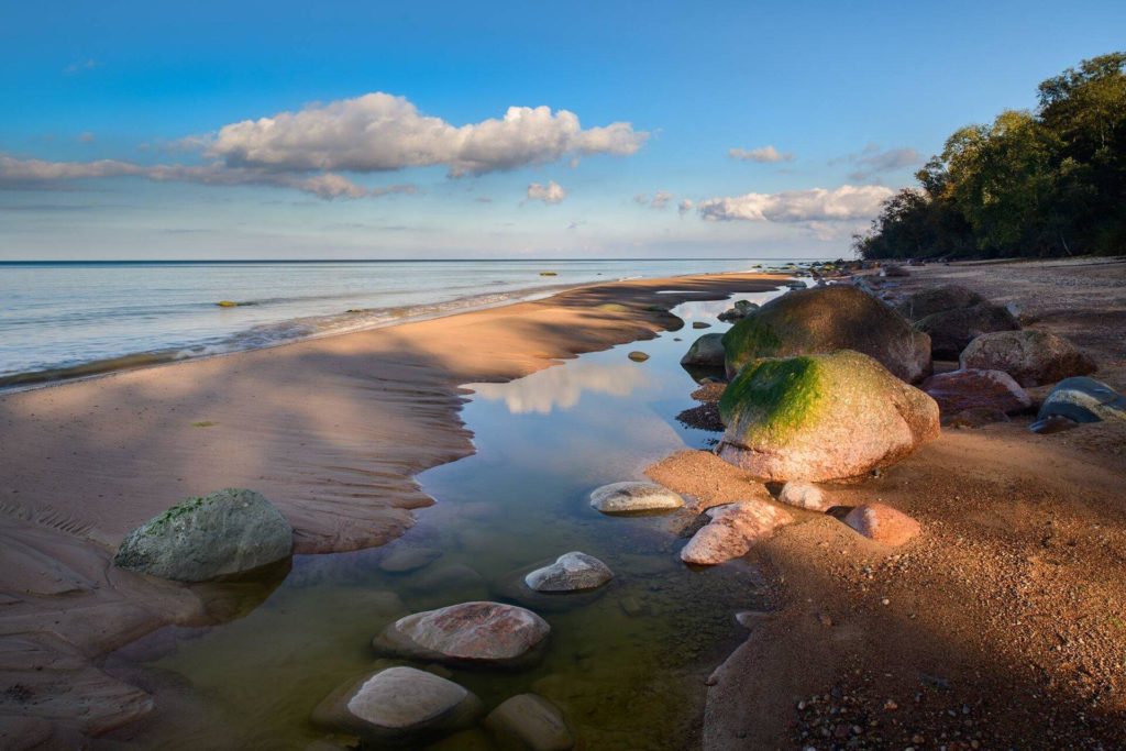
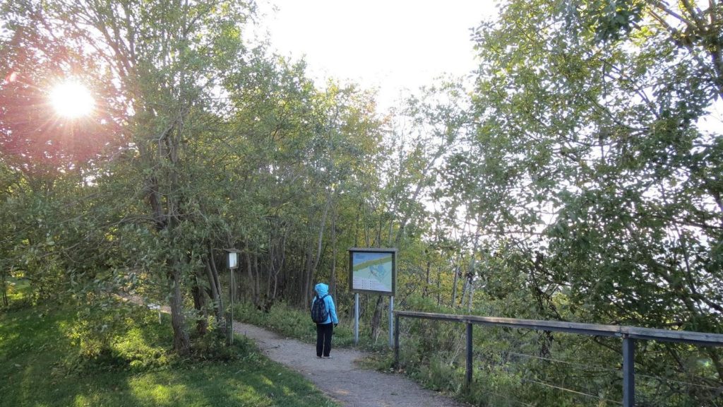
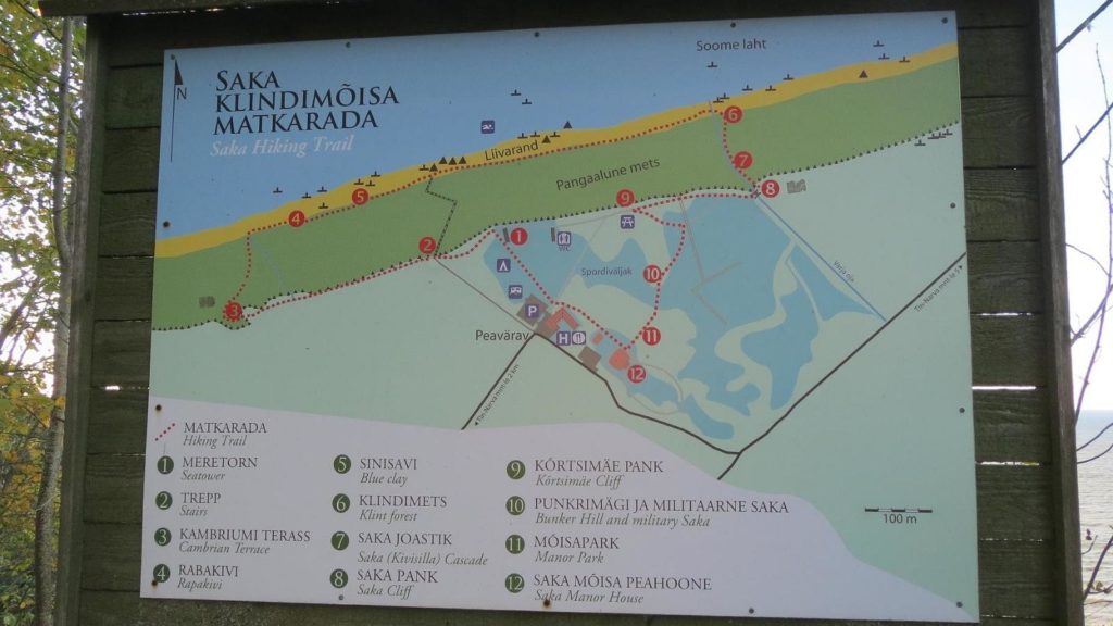
Saka Klindimõisa hiking trail starts from the territory of Saka Manor. The trail, which is 2 km long, runs on the limestone shore and by the sea.
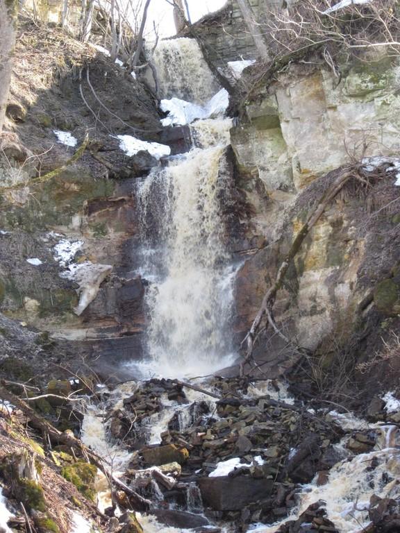
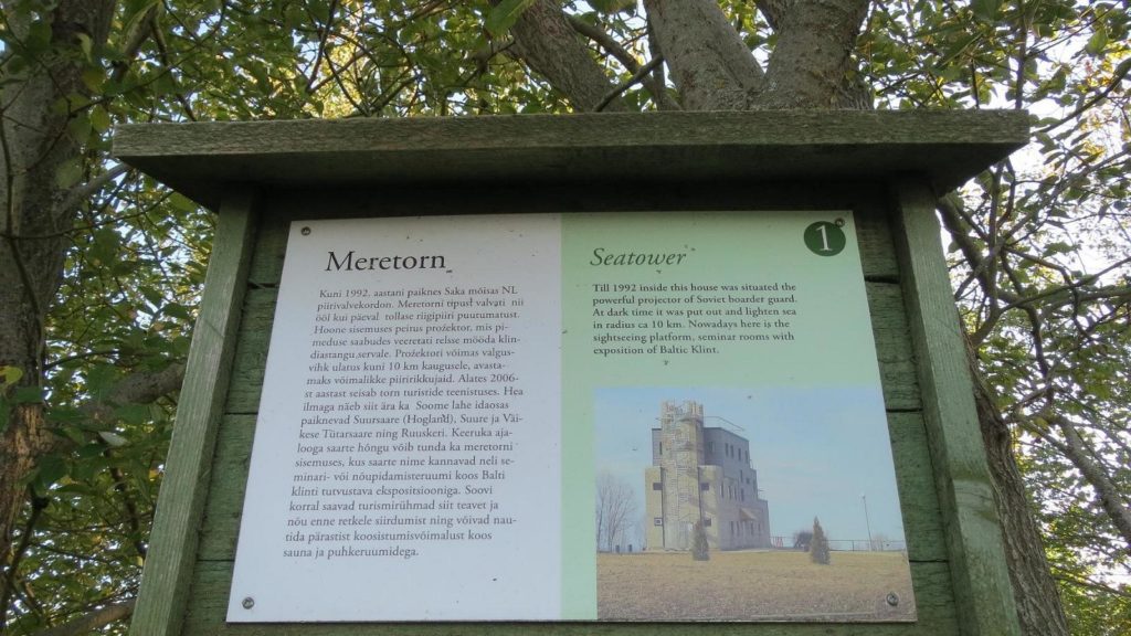
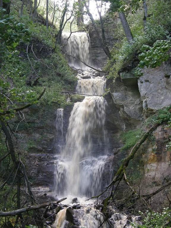
On the trail, you can see the limestone bluff, blue clay deposits, the forest under the limestone bluff, and Kivisilla waterfall. You can climb to the roof of the former border guard lookout tower, where you can enjoy the sea view. In good weather, the Tütarsaar Islands can also be seen.
The hiking trail runs on the shore of the famous Baltic Klint, which starts from the Swedish island of Öland and ends near Lake Ladoga in Russia and is over 1,100 km long, and under the cliff on the beach.
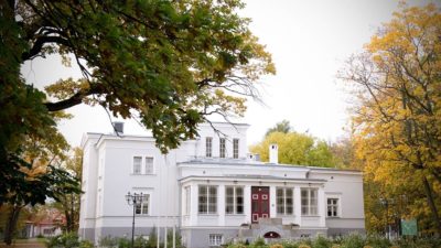
You can also order a picnic basket from Saka Manor for the hike.
Saka Klindimõisa hiking trail
Gallery
Location on map
Coordinates: 59.4382591, 27.1768932View on Google Maps
Add to my choices
Details
Address:
Toila vald, 30103, Ida-Viru maakond
Webpage:
Phone number:
Opening hours & prices
| 24 hours |
Features and amenities
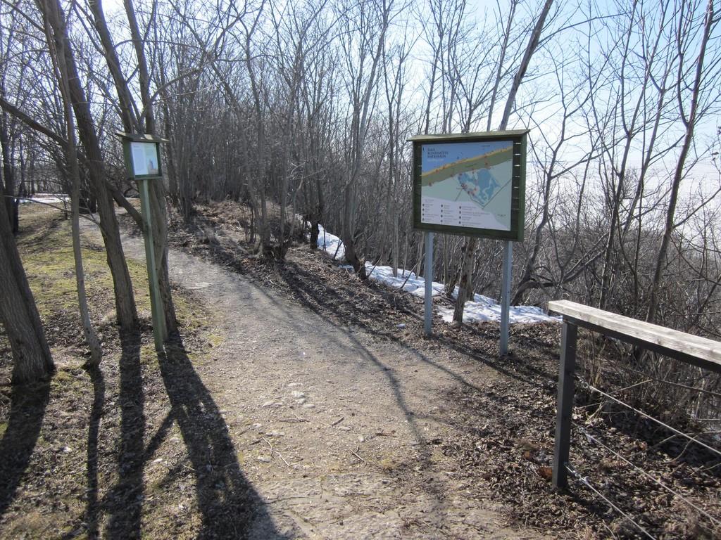
Length/DistanceWCCamping areaViewing platformInformation boardsRecreation area/picnic groundFree parkingSignpostedSealed access roadBy excursion busBy car


