

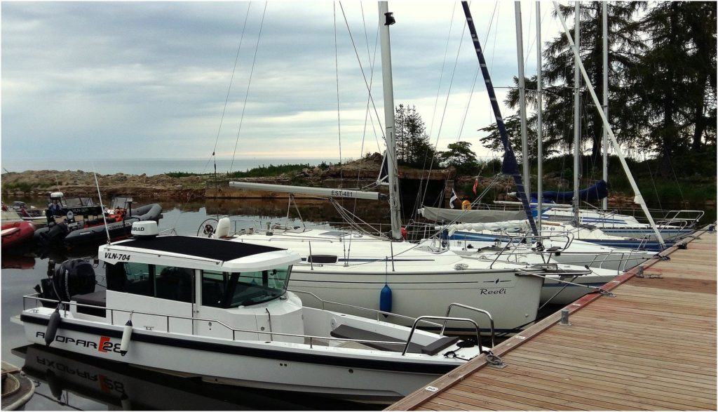
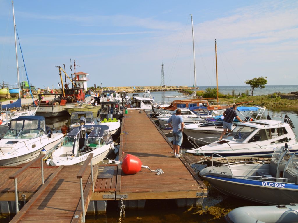
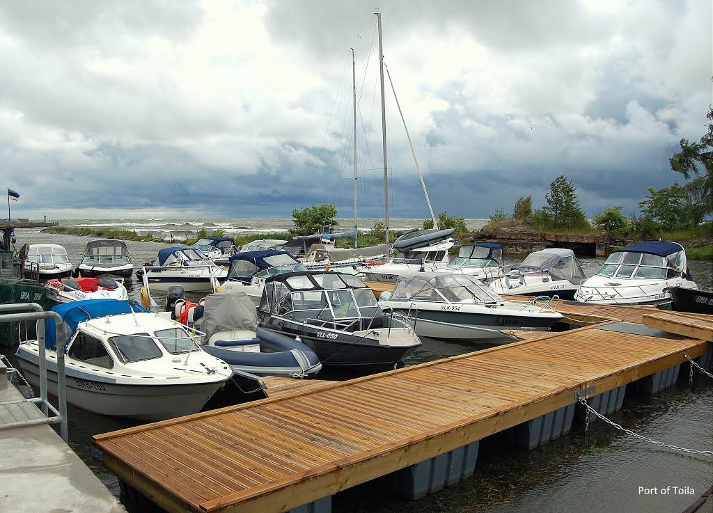
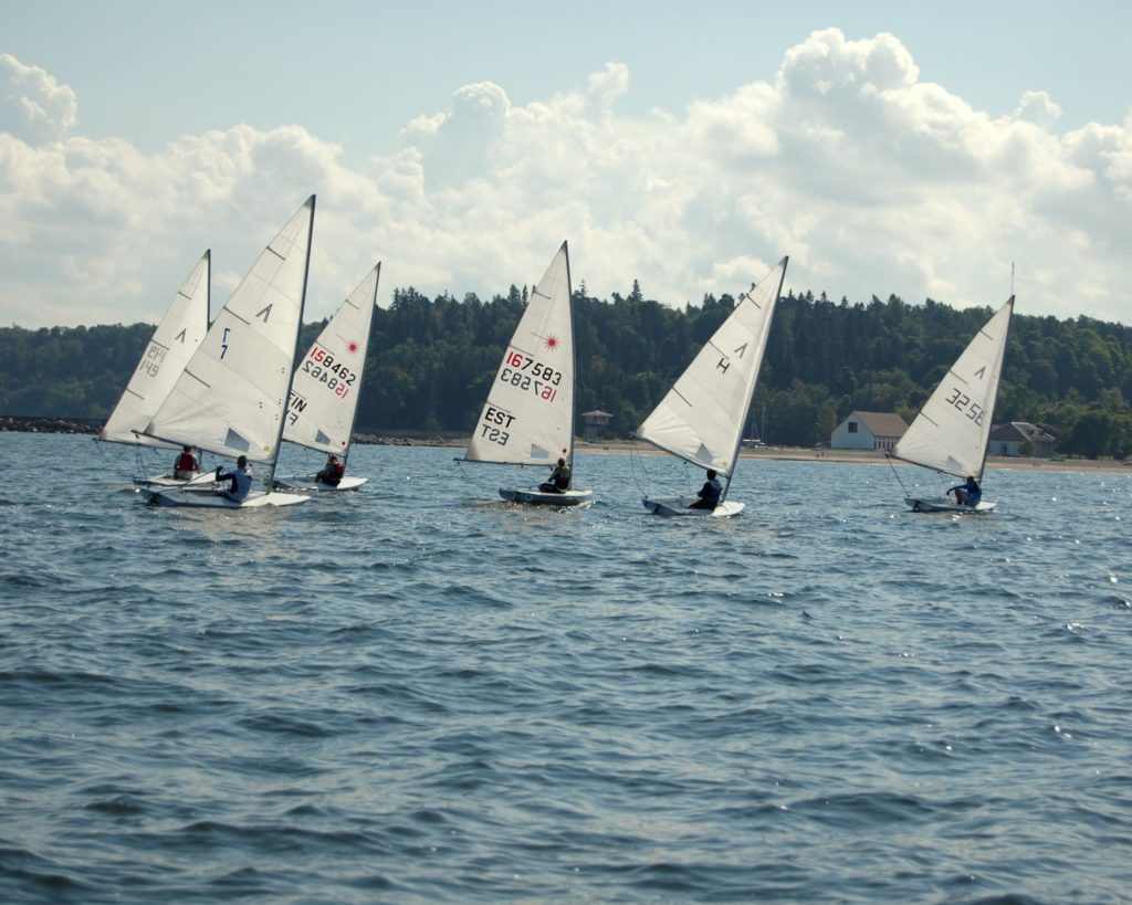
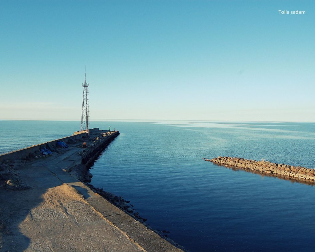
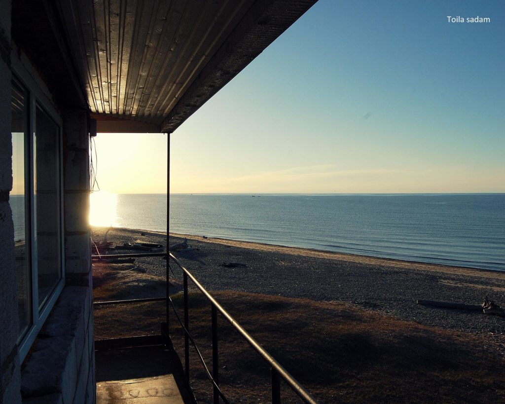
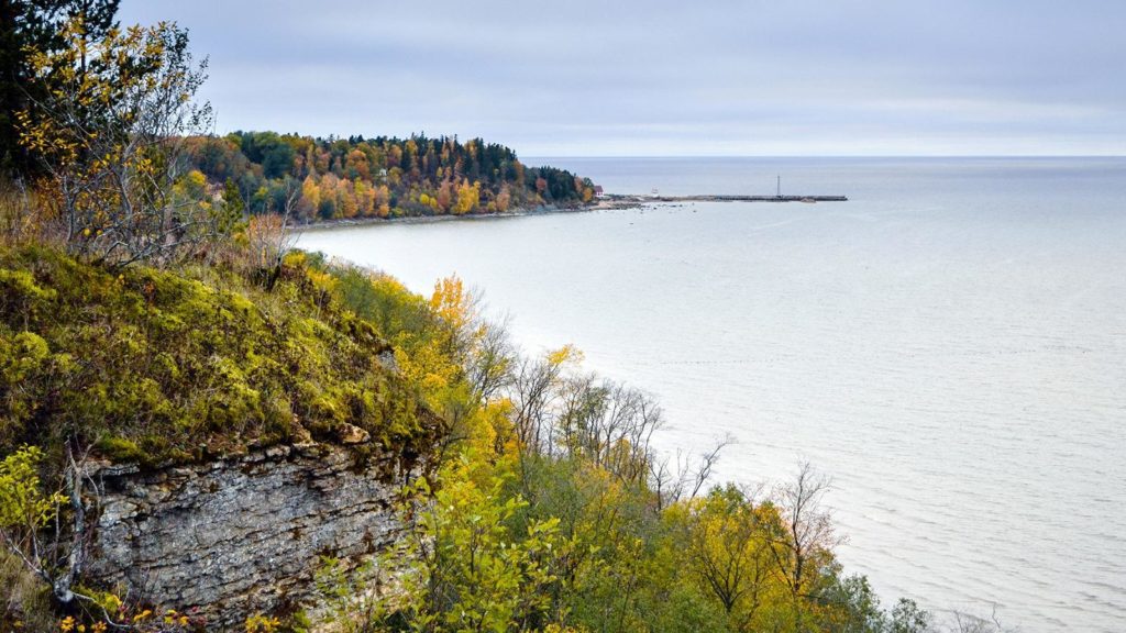
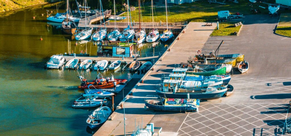
Toila harbour is located on the northern coast of Estonia at the mouth of the Pühajõe River. The eastern side of the territory of the harbour borders a beach and is not separated from it. On the right bank of the Pühajõe, there is the Oru park landscape protection area of the harbour. The territory of the harbour is 35,000 m2. The water area of the harbour reaches from a pedestrian bridge at the river mouth of Pühajõe to the end of its eastern pier; the size of this area is 9,500 m2.
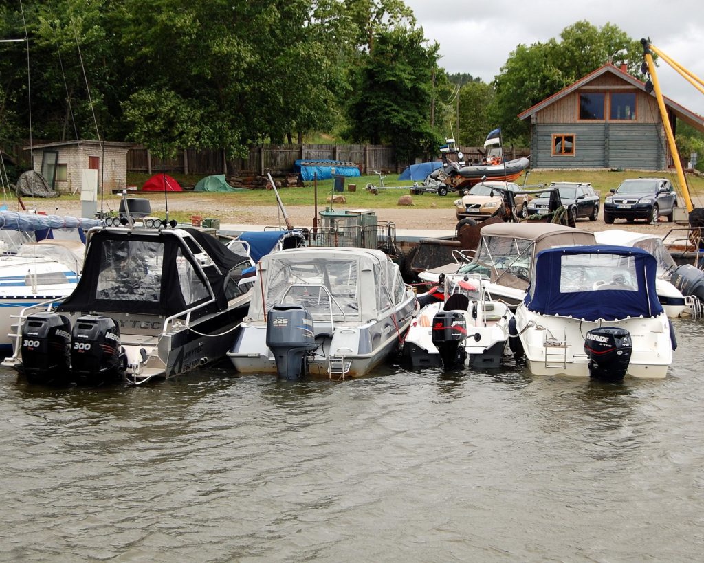
At the inner side of the pier on the left bank of the river, there are three quays with a total length of 180 m. Toila harbour and its territory belong to Toila Rural Municipality. The harbour is managed by Toila Sadam that is an authority administrated by Toila municipality (business registry code 75038188).
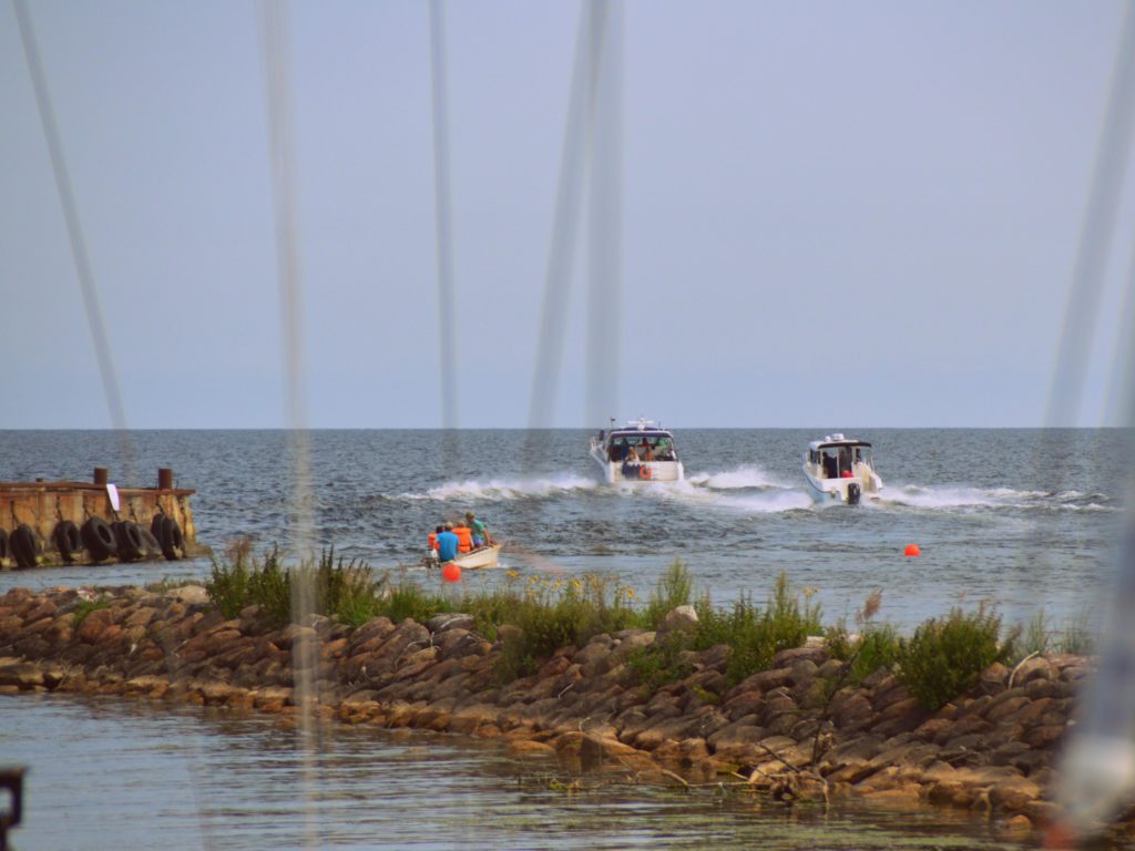
NB! Before arriving at the port, make sure of the depth of the entrance to the port and the water area. Information can be obtained from the harbor captain at +372 5666 3590.
State Port Register
.


